Monthly Archives: September 2015

Cesiumjs – How to draw a polyline from one height to the next.

phpmind-cesiumjs-draw-poly-lines

Cesium.Math.setRandomNumberSeed(1234);

    var viewer = new Cesium.Viewer('cesiumContainer');
    var entities = viewer.entities;
    var boxes = entities.add(new Cesium.Entity());
    var polylines = entities.add(new Cesium.Entity());

    //Create the entities and assign each entity's parent to the group to which it belongs.
    var prevHeight = 0.0;
    for (var i = 0; i < 5; ++i) {
        var height = 100000.0 + (200000.0 * i);
        entities.add({
            parent : boxes,
            position : Cesium.Cartesian3.fromDegrees(-106.0, 45.0, height),
            box : {
                dimensions : new Cesium.Cartesian3(90000.0, 90000.0, 90000.0),
                material : Cesium.Color.fromRandom({alpha : 1.0})
            }
        });
        entities.add({
            parent : polylines,
            position : Cesium.Cartesian3.fromDegrees(-86.0, 55.0, height),
            polyline : {
                positions: [
                    Cesium.Cartesian3.fromDegrees(-86.0, 55.0, prevHeight),
                    Cesium.Cartesian3.fromDegrees(-86.0, 55.0, height)
                ],
                width : new Cesium.ConstantProperty(2),
                material : Cesium.Color.fromRandom({alpha : 1.0}),
                followSurface : new Cesium.ConstantProperty(false)
            }
        });
        
        prevHeight = height;
    }
    viewer.zoomTo(viewer.entities);
Share

Cesiumjs – How to draw line slowly and stop on left click.

phpmind-cesiumjs-create-lines-slowely-1

phpmind-cesiumjs-create-lines-slowely

var viewer = new Cesium.Viewer('cesiumContainer');

var lon = -120;
var lat = 35;
function getPositions(){
    lon += 0.05;
    return Cesium.Cartesian3.fromDegreesArray([lon, 35, -125, 35]);
}

var redLine =  viewer.entities.add({
    polyline : {
        positions : new Cesium.CallbackProperty(getPositions, false),

        width : 5,
        material : Cesium.Color.RED
    }
});

var handler = new Cesium.ScreenSpaceEventHandler(viewer.scene.canvas);

handler.setInputAction(function() {
    redLine.polyline.positions = Cesium.Cartesian3.fromDegreesArray([-120, 35, -125, 35]);
}, Cesium.ScreenSpaceEventType.LEFT_CLICK);
Share

Cesiumjs – Hooks buttons or any other control into the Cesium Viewer toolbar.

phpmind-cesiumjs-create-html-controls

Hooks buttons or any other control into the Cesium Viewer toolbar.


    Hello World!


Share

Cesiumjs – How to set default imagery provider.

phpmind-cesiumjs-set-default-image-layer

If you want to use the BaseLayerPicker, then you need to specify what imagery and terrain seletions are available. It’s more code bu just as straight forward. Here’s a full example that adds two possible terrains and 2 possible imagery providers. It makes the second one active by default by setting the selectedXXX properties, otherwise the first index would be active instead.


var providerViewModels = [];
providerViewModels.push(new Cesium.ProviderViewModel({
    name : 'Bing Maps Aerial',
    iconUrl : Cesium.buildModuleUrl('Widgets/Images/ImageryProviders/bingAerial.png'),
    tooltip : 'Bing Maps aerial imagery \nhttp://www.bing.com/maps',
    creationFunction : function() {
        return new Cesium.BingMapsImageryProvider({
            url : '//dev.virtualearth.net',
            mapStyle : Cesium.BingMapsStyle.AERIAL
        });
    }
}));

providerViewModels.push(new Cesium.ProviderViewModel({
    name : 'Bing Maps Aerial with Labels',
    iconUrl : Cesium.buildModuleUrl('Widgets/Images/ImageryProviders/bingAerialLabels.png'),
    tooltip : 'Bing Maps aerial imagery with label overlays \nhttp://www.bing.com/maps',
    creationFunction : function() {
        return new Cesium.BingMapsImageryProvider({
            url : '//dev.virtualearth.net',
            mapStyle : Cesium.BingMapsStyle.AERIAL_WITH_LABELS
        });
    }
}));

var terrainViewModels = [];
terrainViewModels.push(new Cesium.ProviderViewModel({
    name : 'WGS84 Ellipsoid',
    iconUrl : Cesium.buildModuleUrl('Widgets/Images/TerrainProviders/Ellipsoid.png'),
    tooltip : 'WGS84 standard ellipsoid, also known as EPSG:4326',
    creationFunction : function() {
        return new Cesium.EllipsoidTerrainProvider();
    }
}));


terrainViewModels.push(new Cesium.ProviderViewModel({
    name : 'STK World Terrain meshes',
    iconUrl : Cesium.buildModuleUrl('Widgets/Images/TerrainProviders/STK.png'),
    tooltip : 'High-resolution, mesh-based terrain for the entire globe. Free for use on the Internet. Closed-network options are available.\nhttp://www.agi.com',
    creationFunction : function() {
        return new Cesium.CesiumTerrainProvider({
            url : '//assets.agi.com/stk-terrain/world',
            requestWaterMask : true,
            requestVertexNormals : true
        });
    }
}));

var viewer = new Cesium.Viewer('cesiumContainer', {
    imageryProviderViewModels : providerViewModels,
    selectedImageryProviderViewModel : providerViewModels[1],
    terrainProviderViewModels : terrainViewModels,
    selectedTerrainProviderViewModel : terrainViewModels[1]
});


Share

cesiumjs – How to flies to an entity and create marker.

phpmind-cesiumjs-fly-to-entity
Flies to an entity (marker) then tracks it without the camera jumping

var viewer = new Cesium.Viewer('cesiumContainer', {timeline : false, animation : false});

var pinBuilder = new Cesium.PinBuilder();

var bluePin = viewer.entities.add({
    name : 'Blank blue pin',
    position : Cesium.Cartesian3.fromDegrees(-75.170726, 39.9208667),
    billboard : {
        image : pinBuilder.fromColor(Cesium.Color.ROYALBLUE, 48).toDataURL(),
        verticalOrigin : Cesium.VerticalOrigin.BOTTOM
    }
});


viewer.flyTo(bluePin).then(function(){
    viewer.trackedEntity = bluePin;
});

phpmind-cesiumjs-fly-to-entity-1000-above
How to zoom in about 1000 meters above it ?
I would like to now get the position of the entity (used in the onTick), and then pass this to the camera, lookAt function.

entity.position() provides me info, but I am not sure how I can use this to pass it to the lookAt function.

var viewer = new Cesium.Viewer('cesiumContainer', {timeline : false, animation : false});

var pinBuilder = new Cesium.PinBuilder();

var bluePin = viewer.entities.add({

    position : Cesium.Cartesian3.fromDegrees(-75.170726, 39.9208667),
    billboard : {
        image : pinBuilder.fromColor(Cesium.Color.ROYALBLUE, 48).toDataURL(),
        verticalOrigin : Cesium.VerticalOrigin.BOTTOM
    }
});


viewer.scene.camera.lookAt(bluePin.position.getValue(viewer.clock.currentTime), new Cesium.Cartesian3(0,0,1000));

The first argument is the pin position. The second argument is a Cartesian3 offset in the pin’s reference frame, so z=1000 puts the camera 1000m above the pin.

Share

cesiumjs – How to access folder from KML file and parse.

How to access from KML file and parse to make folder structure.
phpmind-cesiumjs-access-folder-from-kml


var viewer = new Cesium.Viewer('cesiumContainer', {
    timeline : true,
    animation : false,
    homeButton : false,
    screenModePicker : false,
    navigationHelpButton : false,
    baseLayerPicker : false,
    geocoder : false,
    sceneMode : Cesium.SceneMode.SCENE3D
});
var cesiumTerrainProviderMeshes = new Cesium.CesiumTerrainProvider({
    url : '//assets.agi.com/stk-terrain/world',
    requestWaterMask : true,
    requestVertexNormals : true
});
viewer.terrainProvider = cesiumTerrainProviderMeshes;
var ds = new Cesium.KmlDataSource();
var myDataSource;
ds.load('../../SampleData/polygon.kml').then(function(dataSource) {
    viewer.dataSources.add(dataSource);
    myDataSource = dataSource;
    //I gave an ID to folder containing each polygon then I took it by getById method
    var poly_1 = myDataSource.entities.getById('poly_1');
    var poly_2 = myDataSource.entities.getById('poly_2');
    var poly_3 = myDataSource.entities.getById('poly_3');
    var poly_4 = myDataSource.entities.getById('poly_4');

    Sandcastle.addToolbarButton('click1',function(){
        poly_1.show=false;
    });
    Sandcastle.addToolbarButton('click2',function(){
        poly_2.show=false;
    });
    Sandcastle.addToolbarButton('click3',function(){
        poly_3.show=false;
    });
    Sandcastle.addToolbarButton('click4',function(){
        poly_4.show=false;
    });
});

KML file

Share

Cesiumjs – How to access the coordinates

phpmind-cesiumjs-access-the-coordinates

 var entities = dataSource.entities.values; 
                console.log("entities_positions"); 
                for (var i = 0; i < entities.length; i++) { 
                    entity =  entities[i]; 
                      var cartesianPositions = entity.polyline.positions; 
                      var cartographicPositions = viewer.scene.globe.ellipsoid.cartesianArrayToCartographicArray(cartesianPositions._value); 
                      var longitude = cartographicPositions[0].longitude; 
                      var latitude = cartographicPositions[0].latitude; 
                      var height = cartographicPositions[0].height; 
                      console.log(longitude); 
                      console.log(latitude); 

                } 

Those coordinates are given in radians. You can convert them back to degrees with Cesium.Math.toDegrees(radianValue).

Share

Cesiumjs – Show and hide multiple entity/labels

How can i toggle multiple labels/entities ?

phpmind-cesiumjs-show-hide

var viewer = new Cesium.Viewer('cesiumContainer', { infoBox : false });
var entities = viewer.entities;

var labels = entities.add(new Cesium.Entity());

var longitude = - 106;
for (var i = 0; i < 5; ++i) {
    entities.add({
        parent : labels,
        position : Cesium.Cartesian3.fromDegrees(longitude, 45.0),
        label : {
            text : i.toString()
        }
    });
    longitude++;
}

viewer.zoomTo(viewer.entities);

Sandcastle.addToolbarButton('Toggle Labels', function(){
    labels.show = !labels.show;
});
Share

cesiumjs – How to Make Multicolor Polyline

How does segmenting a polyline into different colors work.

Cesiumjs-Multicolor-Polyline

var viewer = new Cesium.Viewer('cesiumContainer');

var primitive = new Cesium.Primitive({
  geometryInstances : new Cesium.GeometryInstance({
    geometry : new Cesium.PolylineGeometry({
      positions : [
        Cesium.Cartesian3.fromElements(-2822918.76, -1347627.64, 5539750.33),
        Cesium.Cartesian3.fromElements(-2860091, -1790883.7, 6104936.09),
        Cesium.Cartesian3.fromElements(-2869994.31, -2212991.67, 6598178.01)
      ],
      width : 2.0,
      vertexFormat : Cesium.PolylineColorAppearance.VERTEX_FORMAT,
      colors: [Cesium.Color.RED, Cesium.Color.BLUE],
      colorsPerVertex: false
    })
  }),
  appearance : new Cesium.PolylineColorAppearance({
    translucent : false
  })
});

viewer.scene.primitives.add(primitive);
Share

How to enable cross-origin resource sharing using php

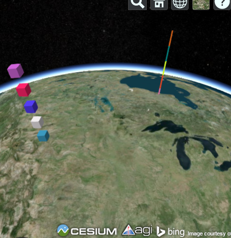
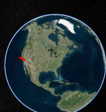
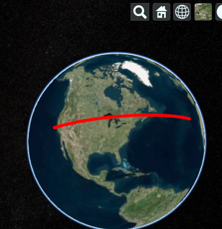
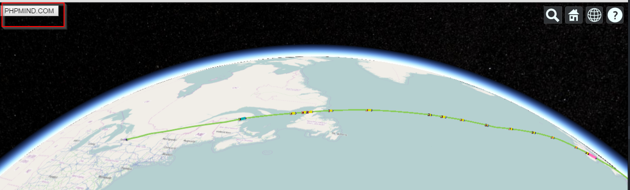
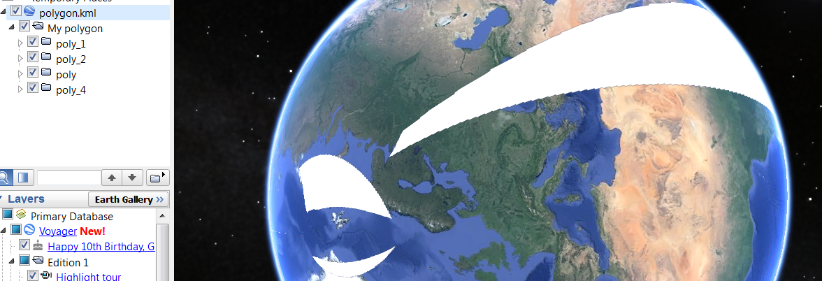
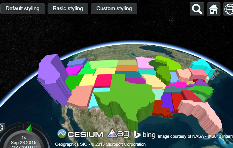
I was working on parsing KML data file from different resources which had different urls and Cesiumjs was unable to read/parse, that is how i come to know enabling cross-origin resource sharing.
It is also called CORS. Here is more details .

Following these steps you can enable “CORS”.
1. First check if you have apache module installed, using php.


2. Use command line to check if you have “Access-Control-Allow-Origin: *”

Command is - curl -I http://yourwebsite.com

3. If you don’t see this line “Access-Control-Allow-Origin: *” in curl -I output you need to add and enable it in either in PHP file ot .htacces file.

HTTP/1.1 302 Found
Date: Sat, 19 Sep 2015 00:31:41 GMT
Server: Apache
Access-Control-Allow-Origin: *
Set-Cookie: PHPSESSID=k1ejs4ra2gsu2id387h472one2; path=/
Expires: Thu, 19 Nov 1981 08:52:00 GMT
Cache-Control: no-store, no-cache, must-revalidate, post-check=0, pre-check=0
Pragma: no-cache
Location: https://phpmind.com/index.php
Content-Type: text/html; charset=UTF-8
Set-Cookie: BIGipServer~DART-Dev~DART=1241032896.20480.0000; path=/

4. Now its time to add code and enable your missing part!

In .htaccess


    Header set Access-Control-Allow-Origin "*"

In PHP file

header("Access-Control-Allow-Origin: *"); // for all

header('Access-Control-Allow-Origin: http://www.rnai.technology'); // For particular URL
header('Access-Control-Allow-Origin: http://phpmind.com');
header('Access-Control-Allow-Origin: http://maps.google.com');

After that you need to test using

Command is - curl -I http://yourwebsite.com

You must see Access-Control-Allow-Origin: *” with headers.

Share